August 9, 2021
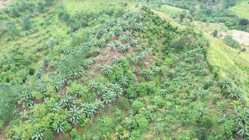
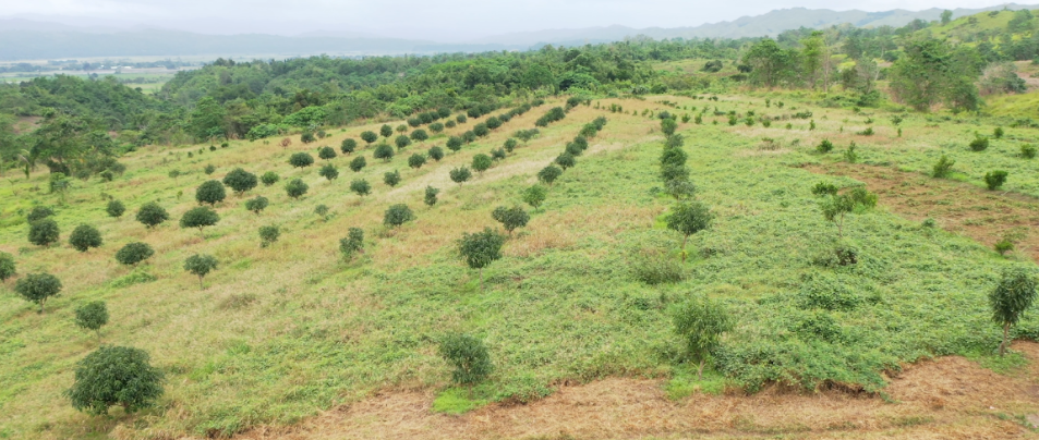
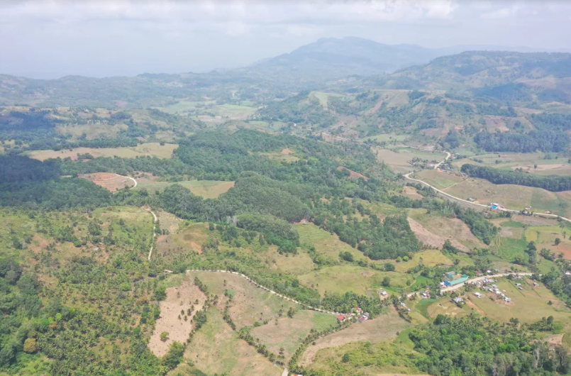
The government has successfully partnered with Kitanglad Guard Volunteers (KGV) , Forest Foundation Philippines, and Holcim Corp, to plant more than 300 hectares of coffee, abaca, and bamboo as a sustainable agroforestry system to protect Bukidnon’s Mt. Kitanglad.
The Department of Environment and Natural Resources (DENR) has proven that volunteerism and partnership with the private sector and non-government organizations (NGOs) work in long term aims to protect the environment.
“Despite the limited manpower assigned in Mt. Kitanglad, the Protected Area Management Board (PAMB) has successfully tapped the cooperation of the upland communities to spearhead the community- based park protection,” said Daniel F. Somera, protected area superintendent of MKRNP.
More than 400 volunteers that form KGV now serve as contractors of the DENR’s National Greening Program.
“KGV started its humble beginning with only more than a dozen members in 1995. They rose to more than 400 volunteers who proved their worth in the significant decline of man-made disturbances within the park. Their park protection is also being reciprocated as they are given top priority in the provision of livelihood assistance,” said Somera.
A combination of agroforestry (planting of fruit trees, dipterocarp or broad-leafed tropical trees, and vegetables) and assisted natural regeneration (ANR–maintenance of existing naturally growing trees) has been implemented by DENR in MKRNP.
This resulted in the sustainable development of forestry area with 100 hectares of coffee trees, 100 hectares of abaca, 100 hectares of fuelwood trees, 100 hectares of rattan, and 50 hectares of bamboo.
The planting is all over 28 barangays surrounding MKRNP. DENR has also partnered with Holcim Corp in planting coffee, cacao, and rubber. The Forest Foundation Philippines and the – Coastal and Marine Ecosystems Management Program also contributed to the plantation efforts.
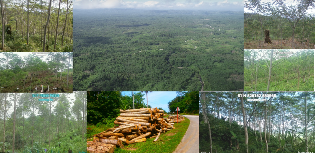
Somera said the agroforestry-ANR program supports DENR’s aim for the sustainable protection of MKRNP which is the headwater source of major river systems in Bukidnon.
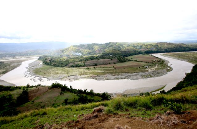
Mt. Kitanglad plays a critical role in the the replenishment of river systems that drain from Mt. Kitanglad. The rivers include Pulangi, Manupali, Cagayan and Tagoloan rivers in North and Central Mindanao.
The DENR has also implemented a separate project, the Integrated Natural Resources and Environmental Management Project (INREMP) that aims to protect the Upper Bukidnon River Basin.
INREMP eyes ecotourism as an approach to the long term sustainable development of MKRNP and UBRB.
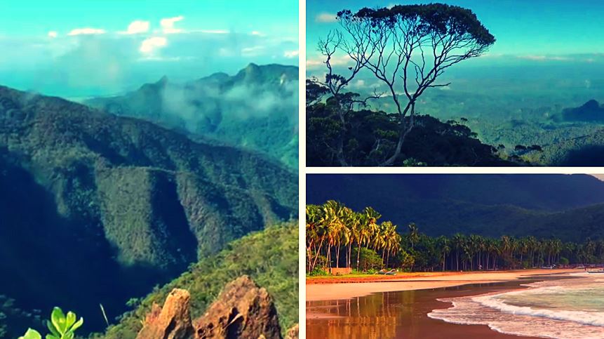
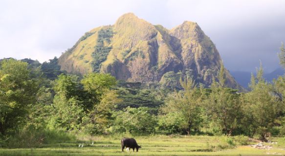
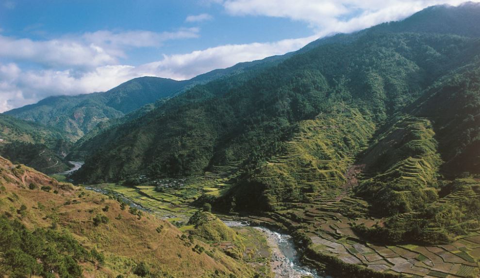
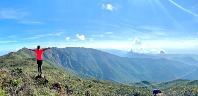
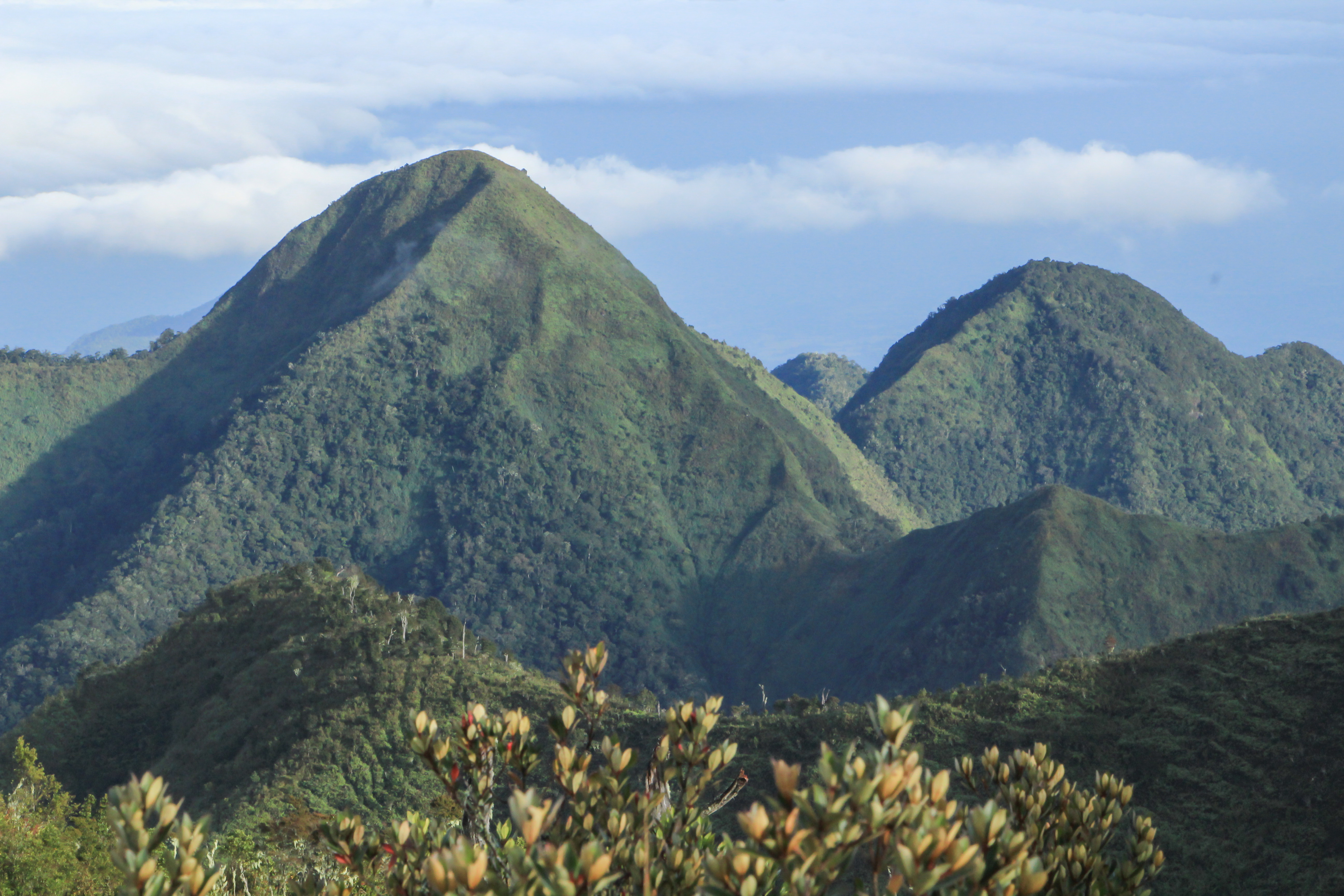
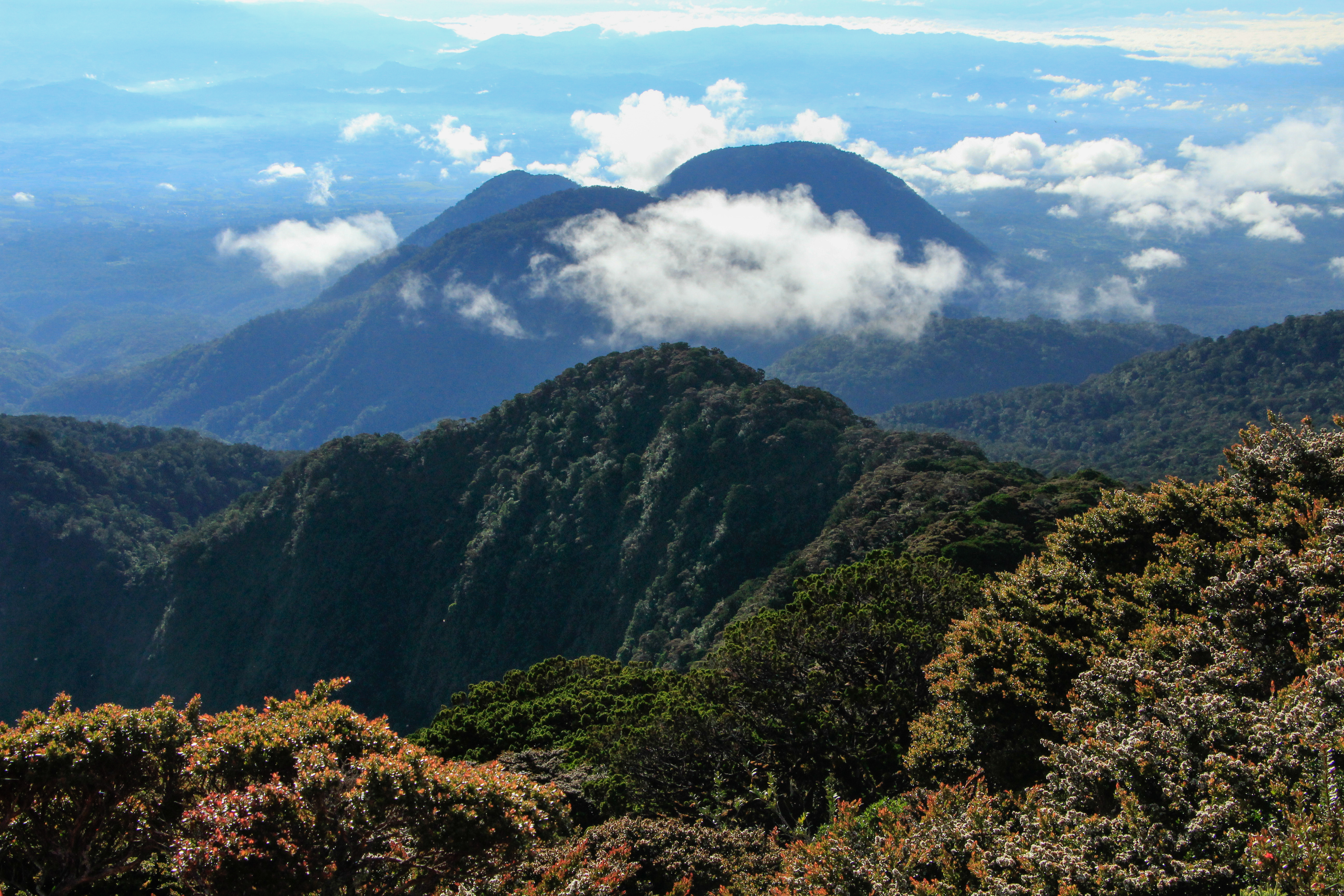
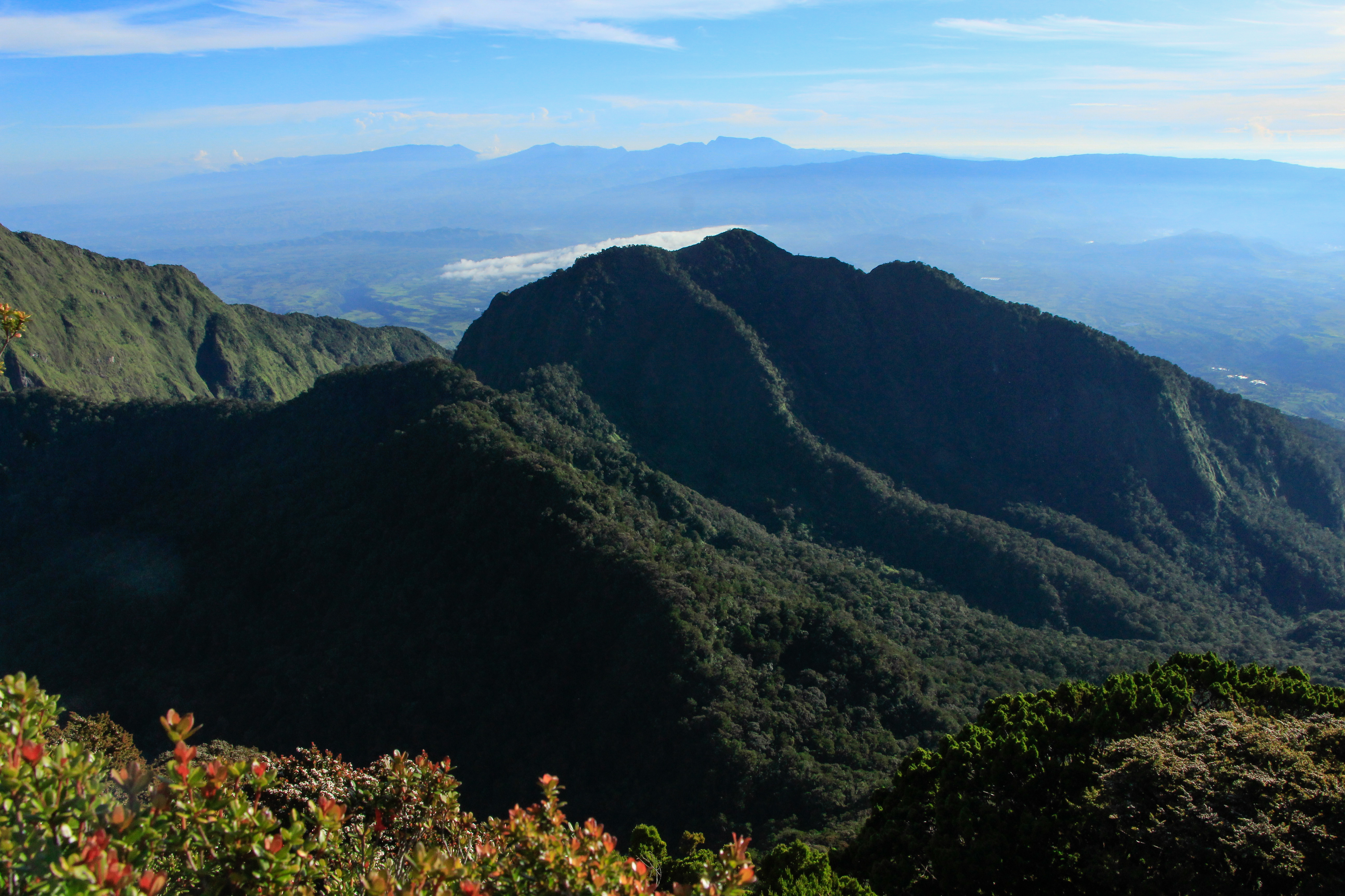
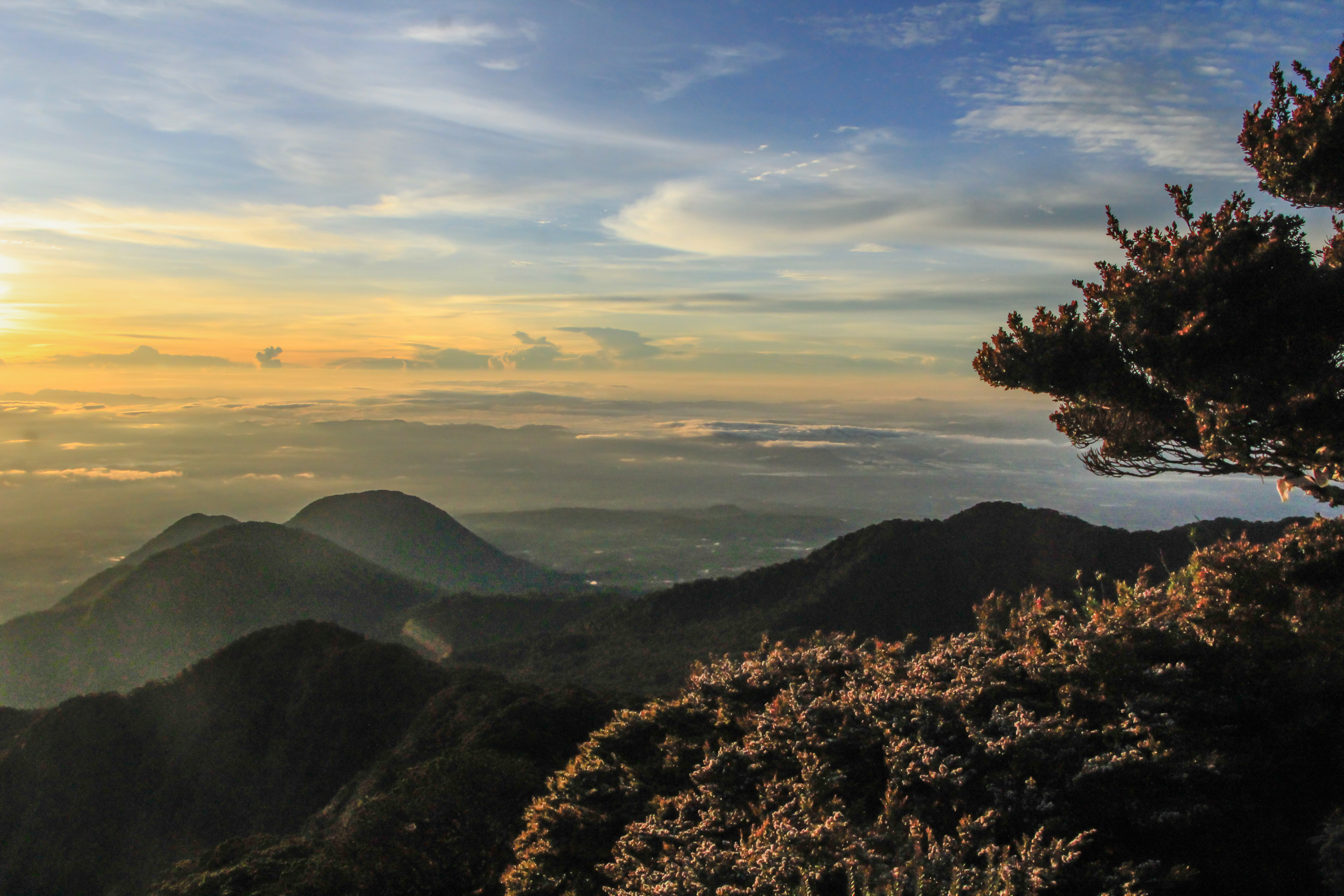
Mt. Kitanglad is a favorite trekking site due to its magnificent scenery and terrific landscape.
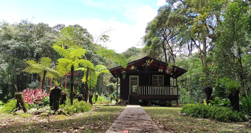
Improvements made so far to enhance Mt. Kitanglad’s ecotourism potential include a canopy walk, hanging bridge, improvement of biking/camping trails, and repair and renovation of existing buildings to cater to hikers’ and tourists’ needs.
Hikers go for sight of rich biodiversity in Mt. Kitanglad.
“Within the reserve is a nesting site of the Philippine eagle which is probably the nearest eagle site in terms of proximity,” said Somera. “Within the park’s bufferzone is Cinchona Forest Reserve (CFR) located in Kaatuan, Lantapan, Bukidnon. It was once a trial planting site of Quinine (covering 1,900 hectares) which is a known plant to cure malaria.”
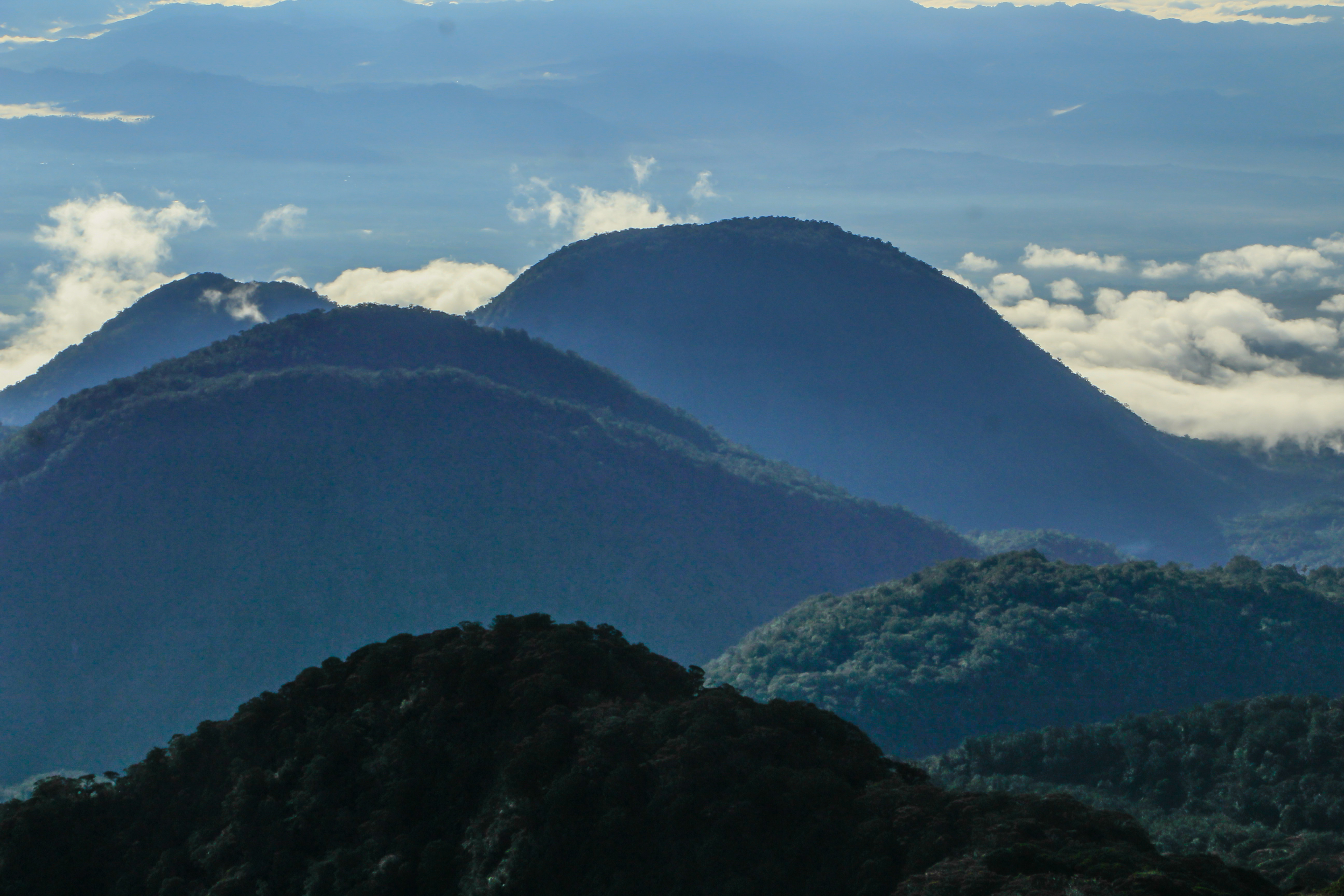
Mountain climbers choose to reach the three highest peaks of the park– Mts. Kitanglad, Dulangdulang and Maagnao.
Mt. Dulangdulang, with an elevation of 2,938 meters, is the second highest mountain next to Mt. Apo.
To ensure their safety, hikers are oriented on basic park rules by DENR’s Protected Area Management Office (PAMO). They also go through a ritual performed by a tribal leader to ask spirits for a safe travel.
“These hikers are regularly being escorted by trained local guides serving as their tour guides and porters.”
Tourists also delight in visiting buildings occupied by Japanese garrison during the World War II. It was later recovered by Filipino and American soldiers.
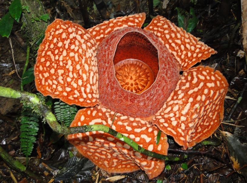
“This area is being promoted as one ecotourism destination given its rich historical value, presence of century old natural forests, series of waterfalls, rafflesia flower and rare and endemic flora and fauna.”
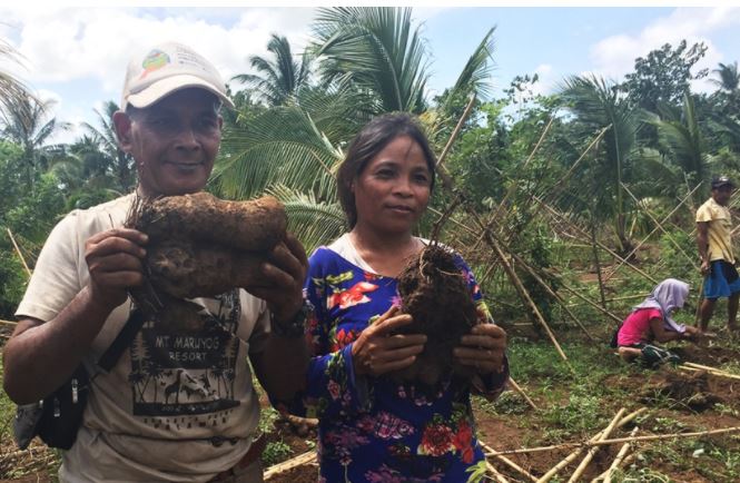
Somera said another booming activity within the park is ethno and agro ecotourism. This ethno-tourism appreciates the rich culture of the indigenous peoples (Talaandig, Higaonon and Bukidnon tribes) who dwell within the park.
There is also a popular, national awardee demonstration farm covering 22 hectares run by a family that showcase diversified upland farming system.
“With their amenities established at site, the farm is also regularly visited by farmers who wish to emulate their success stories and nature lovers who wish to commune with nature,” Somera said. (Melody Mendoza Aguiba)